Log in
All resources
Create a design
11,660 Free Images of Old Map
maps made in the 17th century
fonds ancely - bibliothèque municipale de toulouse - maps
atlantis magni tomus secundus (biblioteca comunale di trento)
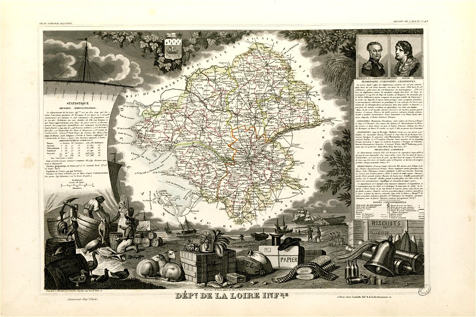
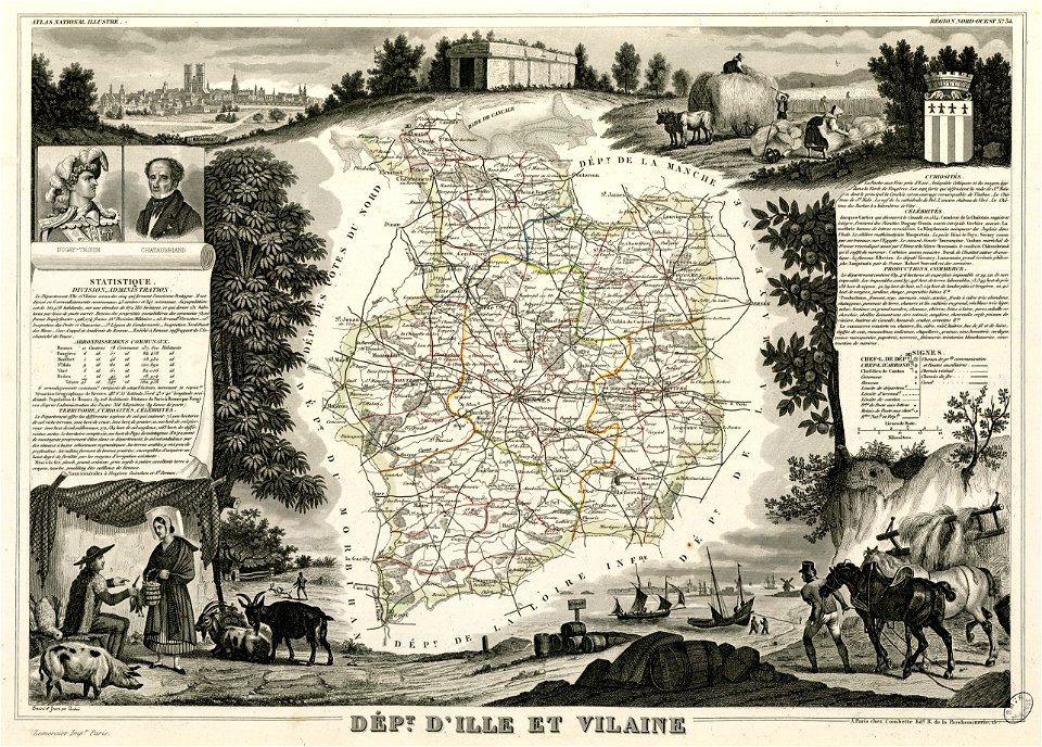
victor levasseur - maps of france
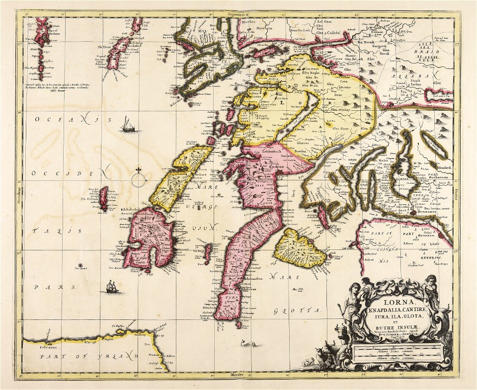
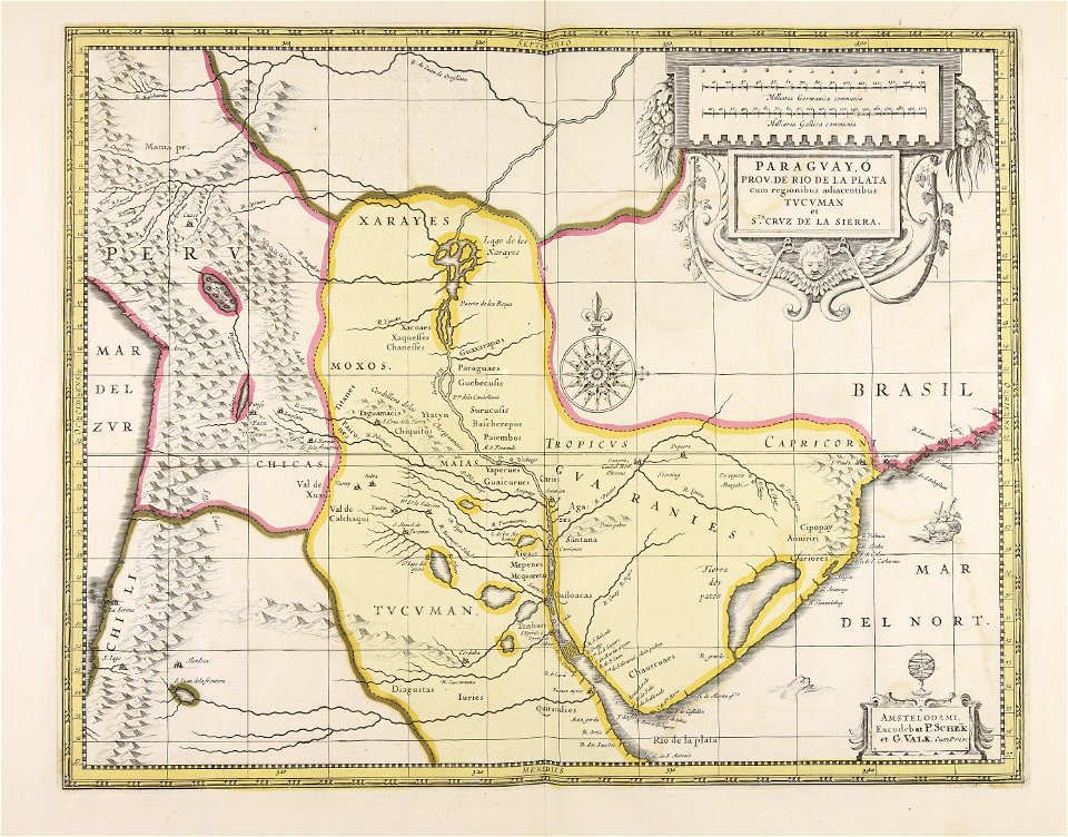
maps by pieter schenk (i)
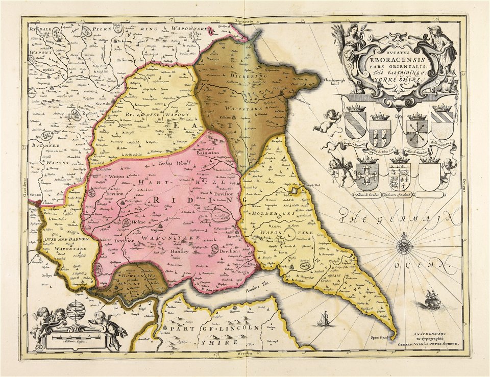
gerard valck
maps made in the 18th century
dutch 17th-century prints in the rijksmuseum amsterdam
atlantis magni tomus tertius (biblioteca comunale di trento)
frédéric-auguste laguillermie
fonds ancely - bibliothèque municipale de toulouse - maps
victor levasseur - maps of france
fonds ancely - bibliothèque municipale de toulouse - maps
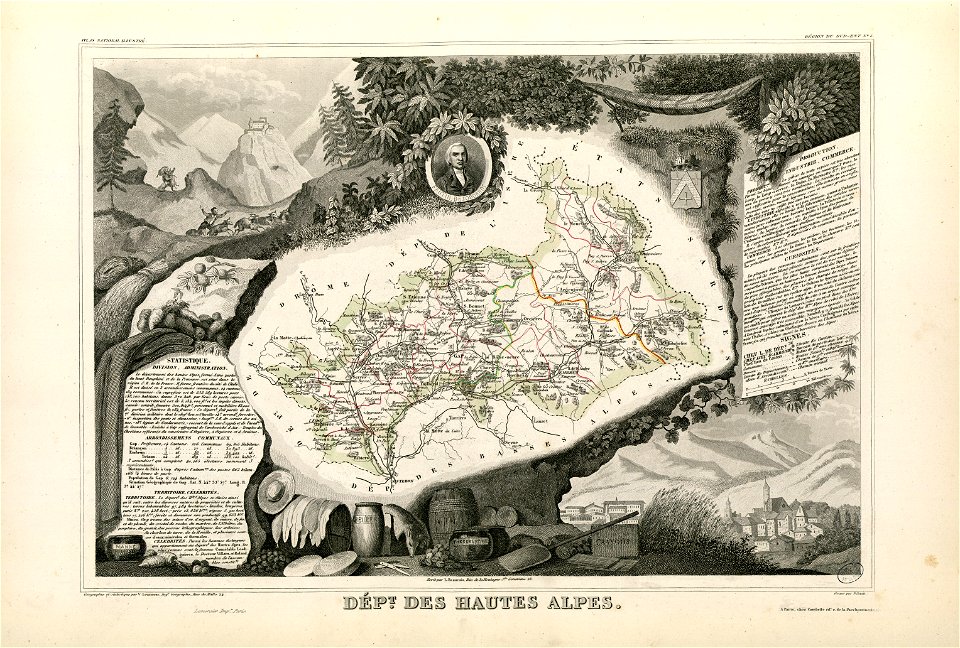
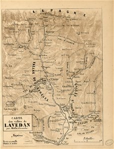
coats of arms of cities in hautes-alpes
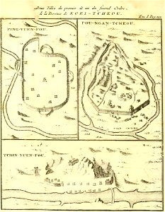
zhijin county
guizhou
maps made in the 18th century
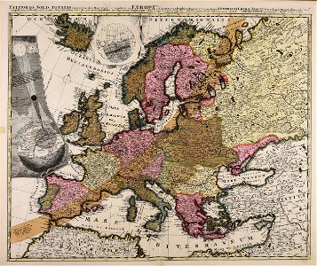
old maps of europe
johann christoph winkler
old maps of prague
maps with cartouches
atlas van der hagen
flemish 16th-century prints in the rijksmuseum amsterdam
maps of antwerp city walls
maps made in the 17th century
jan janssonius
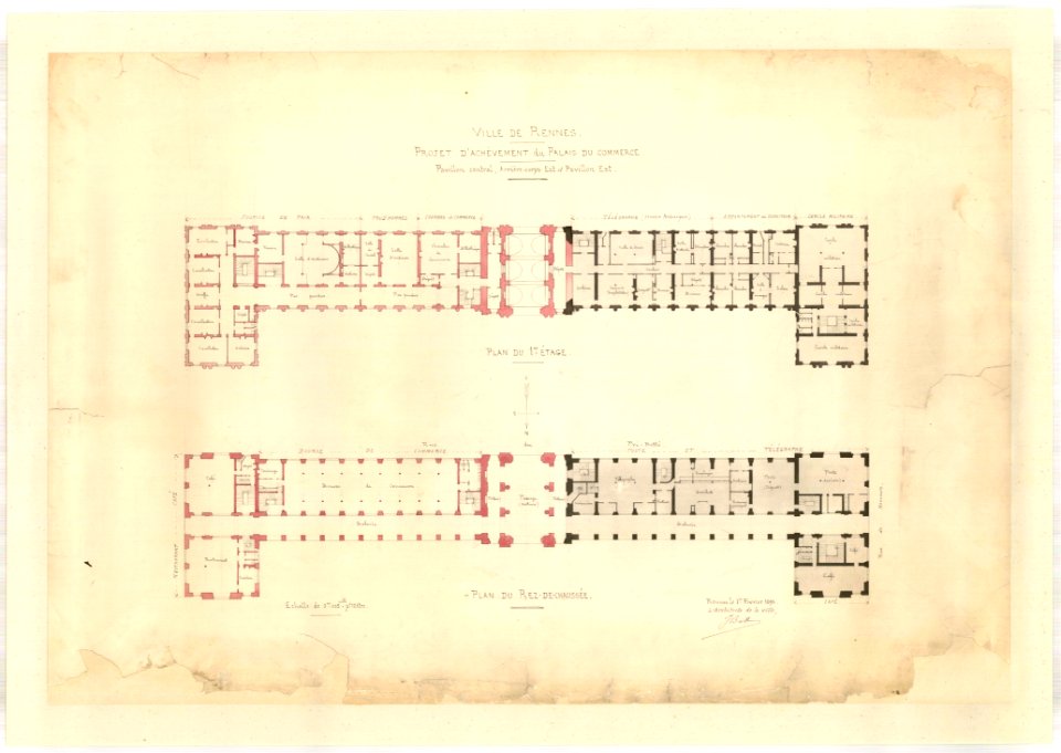
jean-baptiste martenot
1875 maps
pictorial history of the russian war 1854-5-6 by george dodd
old maps of kronstadt
maps made in the 17th century
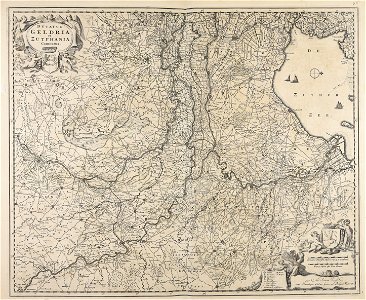
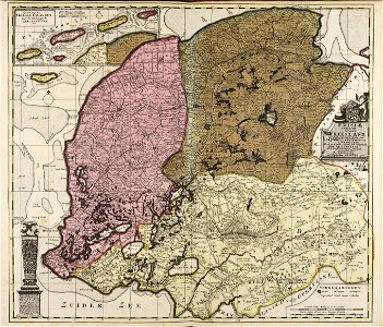
old maps of gelderland
fonds ancely - bibliothèque municipale de toulouse - maps
joseph-bernard abadie
university of toronto wenceslas hollar digital collection
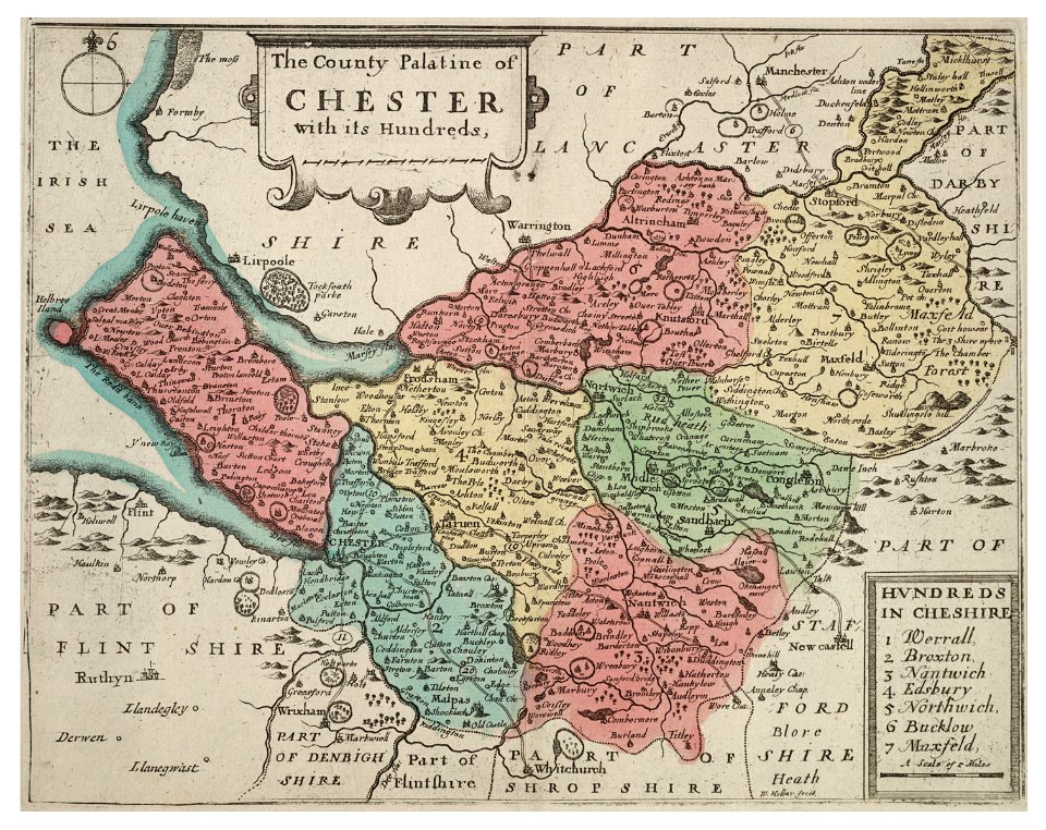
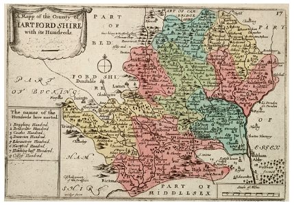
old county maps of cheshire
maps made in the 17th century
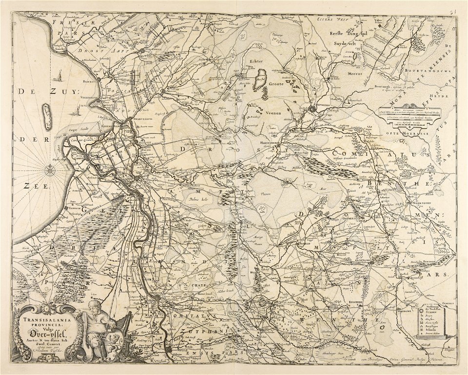
old maps of overijssel
old maps of the world
1880 maps
old celestial maps
gerard valck
johann baptist homann
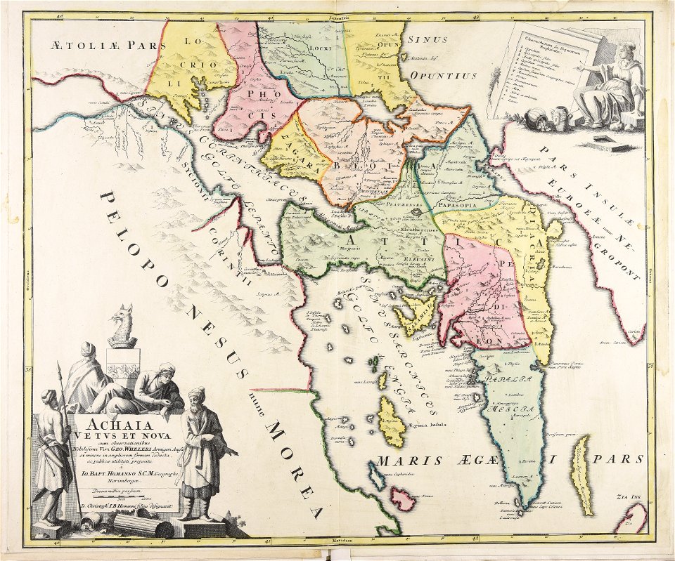
old maps of greece
dutch 17th-century prints in the rijksmuseum amsterdam
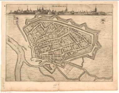
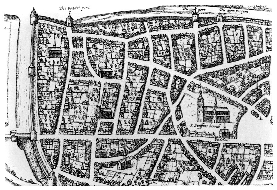
roermond in the 17th century
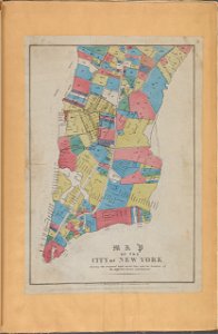
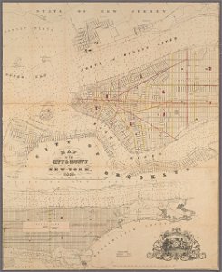
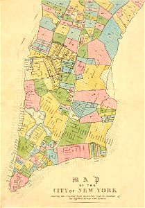
george hayward
new york city
old celestial maps
maps with figures
maps made in the 17th century
gerard valck
maps made in the 17th century
gerard valck
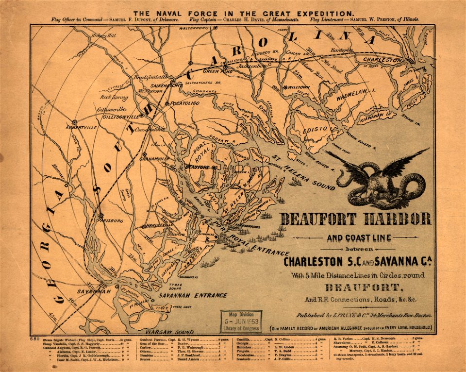
maps in the library of congress
old maps of south carolina
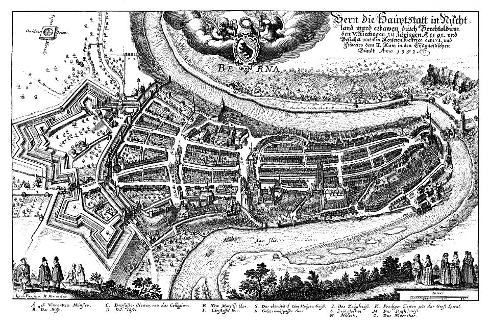
1638 in switzerland
bern
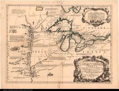
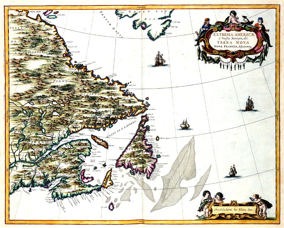
old maps of new france
maps by coronelli
1696 in bretagne
1696 maps
university of toronto wenceslas hollar digital collection
history of watford
old maps of the canton of zürich
maps made in the 16th century
dutch 17th-century prints in the rijksmuseum amsterdam
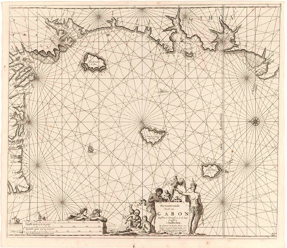
old maps of africa
maps made in the 17th century
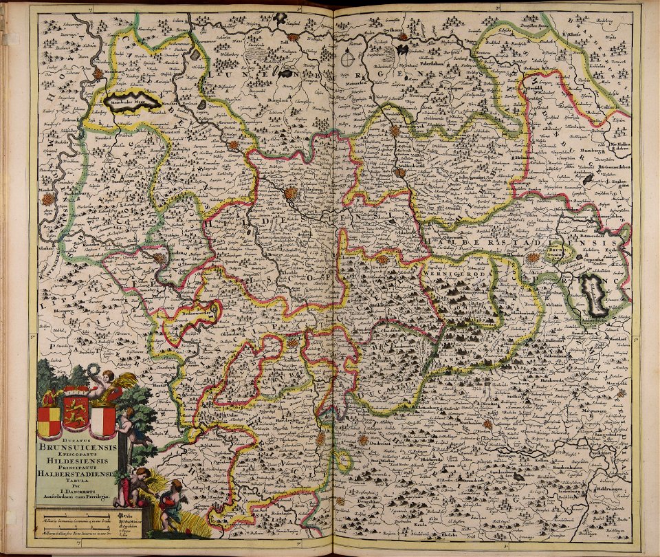
old maps of lower saxony
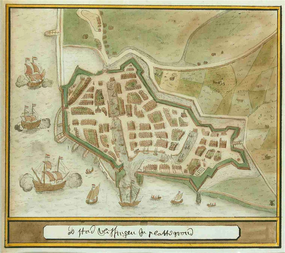
old maps of south holland
merwede
maps made in the 17th century
jan janssonius
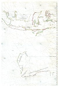
old maps of australia
western australia
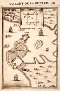
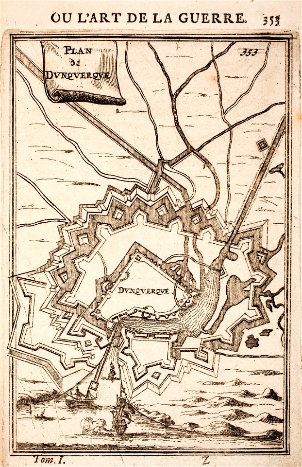
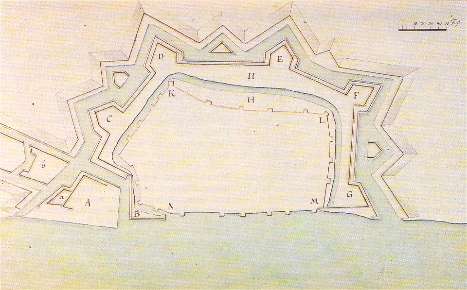
prints from manesson travaux de mars at the peace palace library
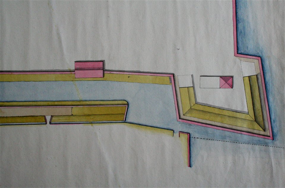
fortifications in france
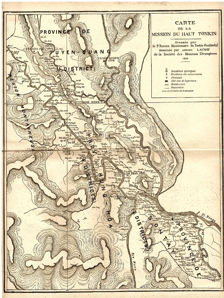
old maps of vietnam
1899
maps made in the 18th century
johann baptist homann
maps with cartouches
old maps of canada
maps made in the 17th century
gerard valck
maps by nicolaes visscher i
claes jansz. visscher (ii)
maps made in the 17th century
gerard valck
fonds ancely - bibliothèque municipale de toulouse - maps
saint vincent de paul
maps made in the 17th century
gerard valck
maps with cartouches
atlas van der hagen
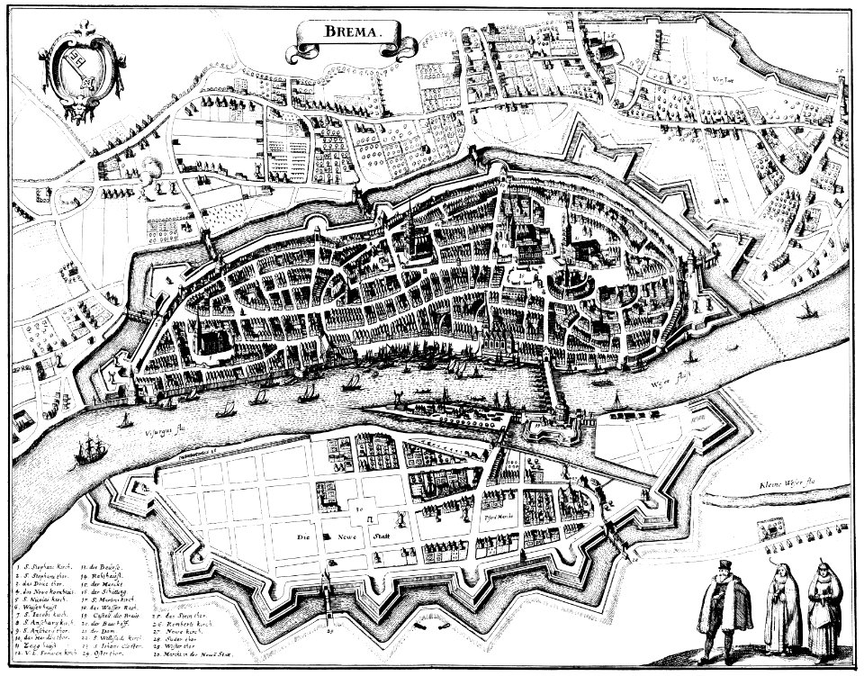
bremen in topographia saxoniae inferioris (merian)
engravings by matthäus merian
dutch 17th-century prints in the rijksmuseum amsterdam
maps in the rijksmuseum amsterdam
jean-baptiste martenot
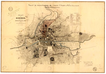
rennes in the 1890s
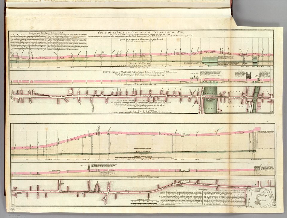
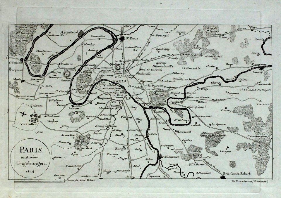
seine river in paris
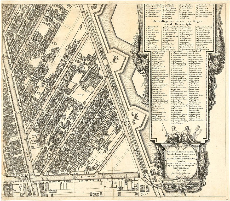
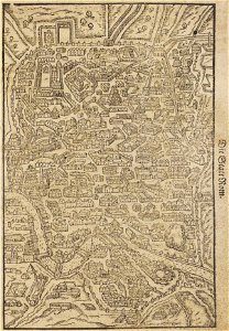
old submaps of paris
atlantis magni tomus tertius (biblioteca comunale di trento)
maps made in the 17th century
fonds ancely - bibliothèque municipale de toulouse - maps
joseph-bernard abadie
maps made in the 18th century
johann baptist homann
engravings by matthäus merian
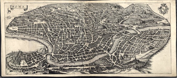
old maps of rome
itinerario (jan huygen van linschoten)
latin-language maps
cornell university library
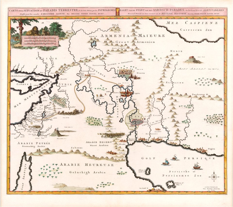
garden of eden
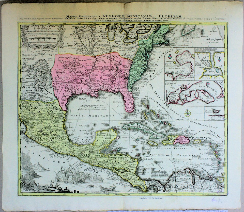
old maps of central america
old maps of florida
old manuscript maps
pictorial maps
old manuscript maps
pictorial maps
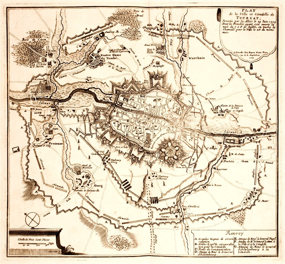
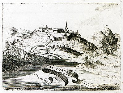
maps of tournai city walls
old maps of tournai
maps made in the 18th century
maps by pieter schenk (i)
george hayward
new york city
victor levasseur - maps of the world
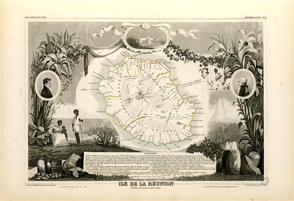
old maps of réunion
maps made in the 17th century
gerard valck
frédéric-auguste laguillermie
françois arago
fonds ancely - bibliothèque municipale de toulouse - maps
coats of arms of rennes
fonds ancely - bibliothèque municipale de toulouse - maps
coats of arms of le mans
frédéric-auguste laguillermie
coats of arms of orléans
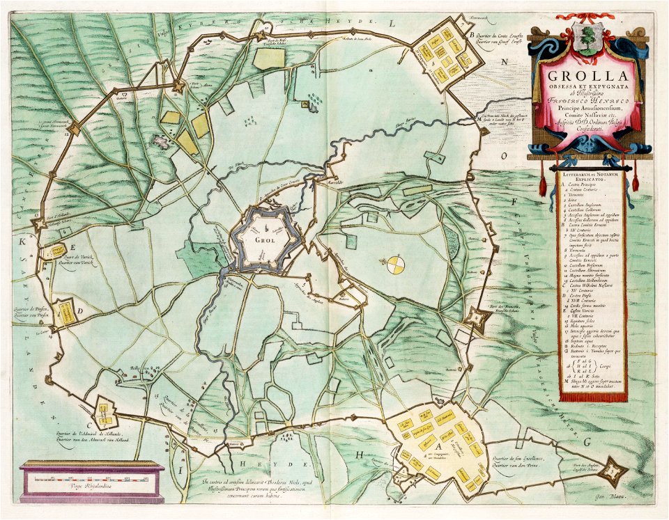
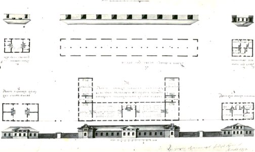
circumvallatielinie (groenlo)
coats of arms on maps
maps made in the 17th century
nicolaes visscher ii
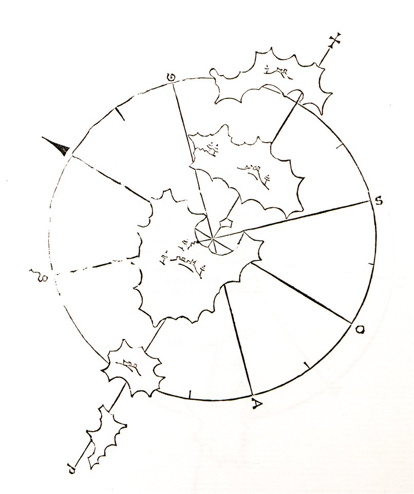
old maps of islands of the aegean sea
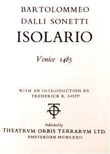
bartolommeo dalli sonetti
geographical illustrations by coronelli
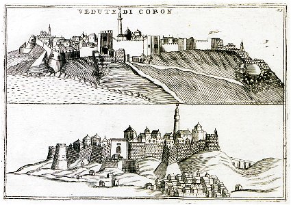
koroni
16th-century images of rome
old maps of rome
old maps of île-de-france
old maps of zürich
zürich
historic views of cities in germany by matthäus merian
historical images of algiers
atlas of the russian empire (1800)
old maps of tobolsk governorate
atlas schoemaker-zeeland
atlas schoemaker
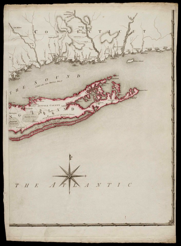
old maps of new york (state)
johann george schreiber
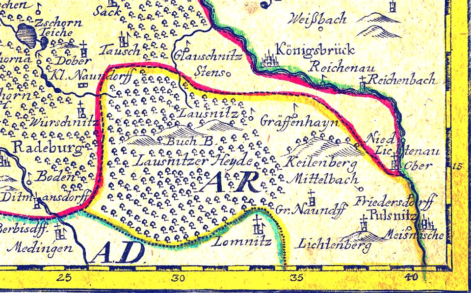
old maps of saxony
old maps of new york (state)
atlante veneto (raremaps.com) volume 1
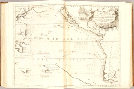
old maps of the pacific ocean
atlante veneto (raremaps.com) volume 1
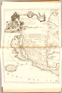
old maps of north america
old maps of islands of the aegean sea
bartolommeo dalli sonetti
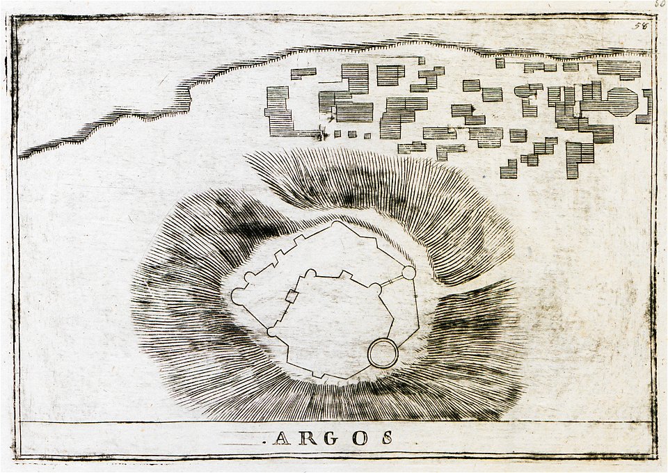
history of argos
argos castle
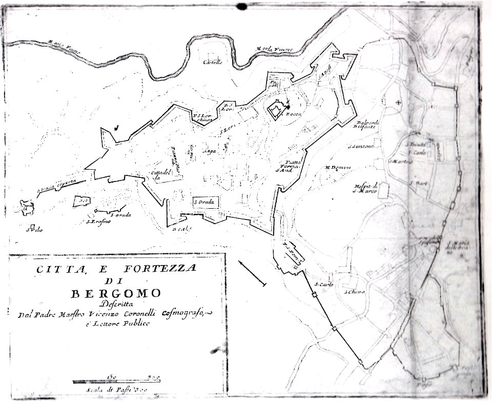
mura venete (bergamo)
old maps of bergamo
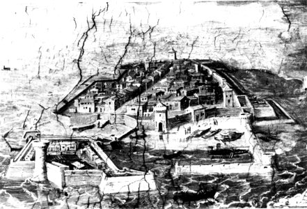
old maps of livorno
walls of livorno
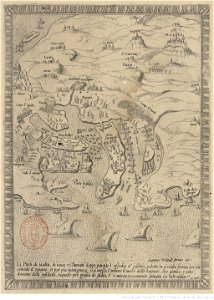
great siege of malta
old maps of malta
historical images of minsk
old maps of minsk
old maps of ancient rome (city)
old maps of nijmegen
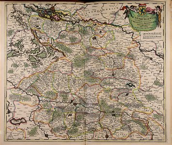
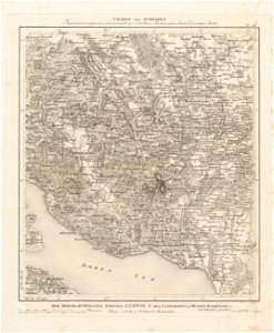
charte von schwaben (bohnenberger)
old maps of switzerland
charte von schwaben (bohnenberger)
old maps of lake constance
geographical illustrations by coronelli
old maps of the peloponnese
johann christoph brotze
old maps of riga
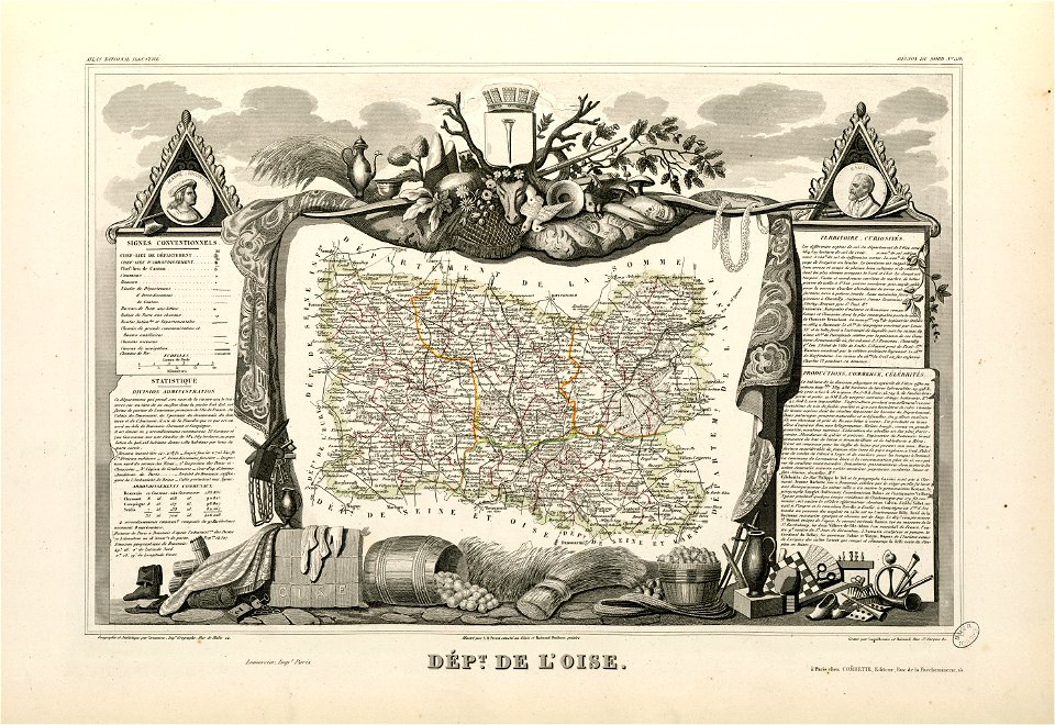
coats of arms of cities in oise
old maps of oise
university of toronto wenceslas hollar digital collection
surrey
george hayward
new york city
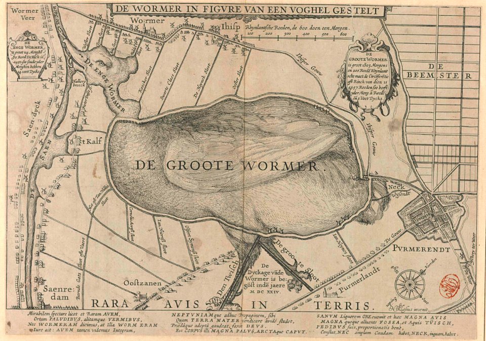
animal shape
purmerend
fonds ancely - bibliothèque municipale de toulouse - maps
maximilien sébastien foy
coats of arms of bordeaux
carle vernet
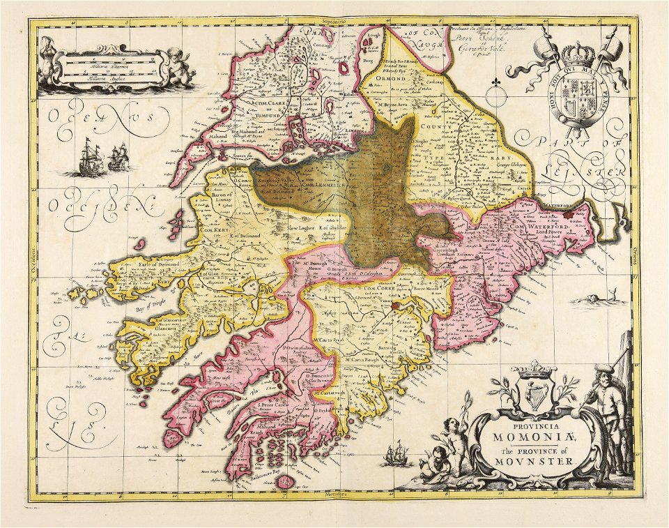
old maps of ireland
gerard valck
rhaetiae et valesiae
merian helvetiae
3501 - 3600 of 11,660
Next page
/ 117